All Orders are processed within by next day - Monday through Friday (excluding holidays). Orders are not shipped or delivered on weekends or holidays.
If We are experiencing a high volume of orders, shipments may be delayed by a few days. Please allow additional days in transit for delivery. If there will be a significant delay in shipment of Your Order, We will contact You via email.
Shipping rates & delivery estimates
Shipping charges for Your Orders will be calculated and displayed at checkout.
UK Delivery:
● Shipping method: Royal Mail 2nd Class Standard
● Shipment cost: Free
Estimated delivery time: 3-5 business days
Worldwide Delivery:
● Shipping method: Royal Mail International Tracked & Signed
● Shipping cost: Calculated at checkout according to weight, size and Zones. (View Table)
● Estimated delivery time: 8-14 business days
Delivery delays can occasionally occur.
Europe | Zone 1 | Zone 2 | Zone 3 | |
|---|---|---|---|---|
Small Map Size | £9.90 | £11.20 | £12.25 | £11.35 |
Large Map Size | £14.20 | £20.35 | £22.10 | £23.75 |
Illustrations (tube) | £12.65 | £16.45 | £17.60 | £18.35 |
World Zone 1: Covers all countries, not defined as being in Europe or World Zone 2. (World Zone 1 generally covers countries in North America, South America, the Middle East, the Far East and South East Asia).
World Zone 2: Australia, Belau(Palau), China (including Tibet), East Timor, Fiji, French Southern and Antarctic Territories, French Polynesia, Guam, Japan, Kiribati, Korea, Marshall Islands, Micronesia, Mongolia, Nauru Islands, New Caledonia, New Zealand, Norfolk Island, North Marina Island, Papua New Guinea, Philippines, Pitcairn Island, Samoa, Solomon Islands, Singapore, Taiwan, Tonga, Tuvalu, Vanuatu, Wake Island, Wallis and Futuna Islands, Western Samoa.
World Zone 3: USA

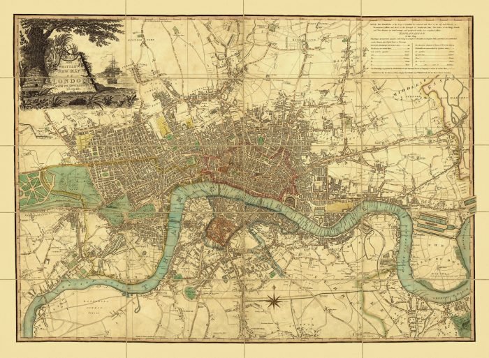













2 reviews for LAURIE & WHITTLE’S NEW MAP OF LONDON 1809
There are no reviews yet.